The Shocking Truth About Those Fluffy White Things in the Sky
Ever looked up at the sky and wondered what those puffy white things really mean? You’re not alone. As a meteorologist with over a decade of experience, I’ve spent countless hours studying clouds. And let me tell you, they’re not just pretty to look at – they’re nature’s own weather forecast.

Clouds: Not Just Cotton Candy in the Sky
Clouds are like nature’s mood rings. They’re visible collections of tiny water droplets or ice crystals floating in the air. But here’s the kicker – they form when air rises above the condensation level. It’s like when you breathe on a cold window; the warm air hits the cold surface and voila! You’ve got yourself a mini-cloud.
I remember the first time I truly understood cloud formation. I was a fresh-faced intern, standing on a mountaintop in Colorado. As I watched the mist rise from the valley below, it suddenly clicked. The air was cooling as it rose, creating a cloud right before my eyes. It was like watching nature’s own magic show.
The Cloud Family Tree: More Diverse Than You Think
Think all clouds are the same? Think again. The cloud classification system we use today was first proposed by Luke Howard in 1802. That’s right, we’ve been cloud-watching for over two centuries!

High Clouds: The Sky’s Warning System
Cirrus clouds are the divas of the sky. Wispy and feathery, they’re composed entirely of ice crystals. But don’t let their delicate appearance fool you. These high-flyers are often the first sign of an approaching warm front or upper-level jet streak.
Cirrostratus clouds, on the other hand, are like nature’s Instagram filter. They create those stunning halos around the sun or moon. But beware, they’re often a sign of changing weather.
Cirrocumulus clouds are the rarest of the high clouds. They look like tiny cotton balls scattered across the sky. If you see these, consider yourself lucky!
Mid-level Clouds: The Weather’s Middle Management
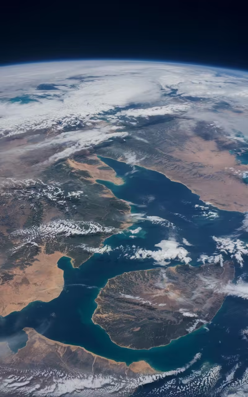
Altocumulus clouds are the sheep of the sky. They often resemble a field of white woolly creatures grazing across the heavens. While they usually signal fair weather, don’t be fooled. They can sometimes be the harbinger of a storm.
Altostratus clouds are the introverts of the cloud world. Flat and uniform, they often indicate the approach of a warm front. Keep an eye on these – they may thicken and lower into stratus or nimbostratus, bringing rain or snow.
Low Clouds: The Ground Floor of the Atmosphere
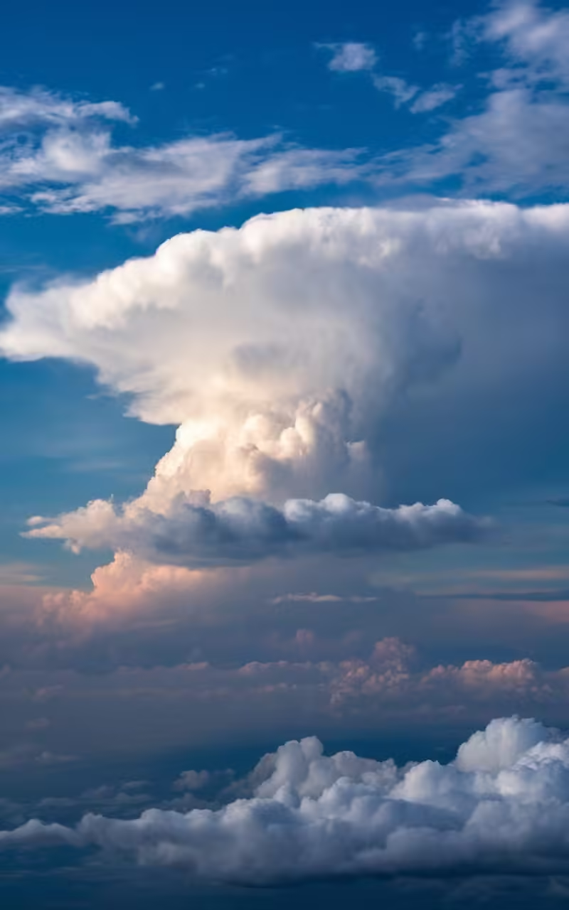
Cumulus clouds are the poster children of fair weather. Fluffy and white, they’re what most people think of when they hear the word “cloud.” But don’t be deceived by their innocent appearance. Given the right conditions, these puffy pals can grow into towering thunderstorms.
Stratus clouds are like a gray blanket draped across the sky. They often bring overcast conditions and the potential for light precipitation or drizzle. Not the most exciting clouds, but they play a crucial role in our weather patterns.
Stratocumulus clouds are the hybrids of the cloud world. Part stratus, part cumulus, these low-lying clouds often produce light precipitation. They’re like the weather’s way of saying, “I’m not sure if I want to rain or not.”
Cloud Formations That’ll Make You Look Twice
Orographic Clouds: Nature’s Mountain Hats
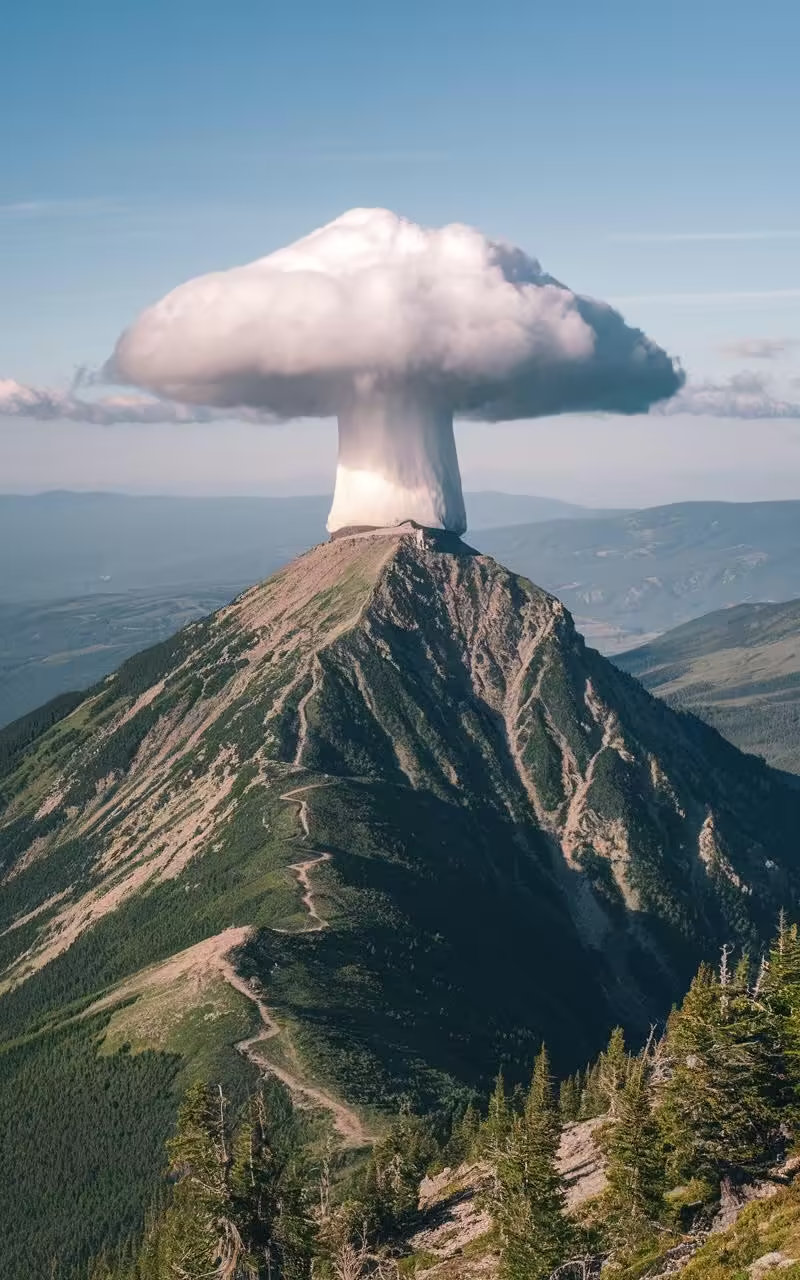
Ever seen a cloud that seems to be hugging a mountain peak? That’s an orographic cloud. These form when mountains or hills force air to move over or around them. It’s like the mountain is wearing its own personal cloud hat.
Lenticular Clouds: UFOs of the Sky
Lenticular clouds are the pranksters of the cloud world. With their distinctive lens-like shape, they’ve been mistaken for UFOs more times than I can count. Formed in the lee of mountains or hills, these clouds are a favorite among photographers and conspiracy theorists alike.
Mammatus Clouds: Nature’s Upside-Down Art
Mammatus clouds are like nature decided to flip the script. Characterized by a drooping underside that looks like pouches or udders, these clouds are often seen after a severe thunderstorm. They’re a reminder that even in the aftermath of nature’s fury, there can be beauty.
Contrails: The Sky’s Graffiti
Ever seen those narrow, elongated clouds left behind by jet aircraft? Those are contrails. They form when jet exhaust condenses in cold air at high altitudes. But they’re more than just sky graffiti – they can tell us a lot about upper-level humidity and wind drift.

The Sky’s Crystal Ball: What Clouds Can Tell Us About Weather
High clouds might seem distant and unimportant, but they’re often the first warning sign of changing weather. Cirrus clouds, those wispy ice crystals high in the sky, can indicate an approaching warm front or upper-level jet streak. It’s like nature’s own early warning system.
Mid-level clouds are the weather’s middle management. Altocumulus clouds, for instance, can signal fair weather, but they can also be a sign that a thunderstorm is brewing. It’s all about context and knowing what to look for.
Low clouds are where the action happens. Cumulus clouds, those fluffy white puffs, are associated with fair weather. But given the right conditions, they can grow into towering cumulonimbus clouds, the powerhouses of thunderstorms.
The Sky’s Mood Swings: When Clouds Turn Stormy
Sometimes, those innocent-looking cumulus clouds can take a sinister turn.
I’ll never forget the summer afternoon when I watched a towering cumulonimbus cloud form right before my eyes.
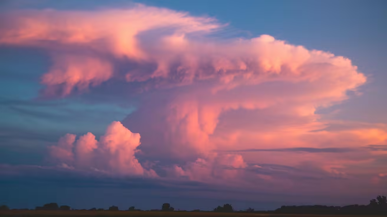
It started as a harmless puff, but within an hour, it had grown into a monstrous anvil-shaped beast.
The air crackled with electricity as lightning danced inside the cloud.
That’s when I realized – clouds aren’t just pretty pictures in the sky. They’re dynamic, ever-changing indicators of the atmosphere’s mood.
The Dark Side of Clouds: Nature’s Storm Factories
Cumulonimbus clouds are the troublemakers of the cloud world.
These towering behemoths can stretch from as low as 2,000 feet all the way up to 50,000 feet or more.
They’re like nature’s own skyscrapers, and they pack a punch to match their size.
Inside a cumulonimbus cloud, you’ll find a chaotic mix of updrafts and downdrafts.
This violent internal storm can produce heavy rain, hail, and even tornadoes.
The Hidden Danger: Microbursts and Downbursts
One of the most dangerous phenomena associated with cumulonimbus clouds is the microburst.
These intense downdrafts can cause sudden, severe wind shear – a pilot’s worst nightmare.
I once interviewed a pilot who narrowly escaped a microburst. His description of the plane suddenly dropping hundreds of feet in seconds still gives me chills.
The Shocking Truth: Clouds and Climate Change
Here’s a sobering fact: climate change is altering our clouds.
As the Earth warms, cloud patterns are shifting.
Some types of clouds are becoming more common, while others are becoming rarer.
This might sound harmless, but it’s not. Clouds play a crucial role in regulating Earth’s temperature.
Changes in cloud patterns could accelerate global warming, creating a dangerous feedback loop.
The Cloud Conundrum: To Seed or Not to Seed?
Cloud seeding – the practice of artificially inducing rainfall – has been around since the 1940s.
But here’s the catch: we’re still not sure how effective it really is.
It’s a reminder that despite all our technological advances, clouds still hold many mysteries.
The Future of Cloud Watching: AI and Satellite Technology
Advances in satellite technology and artificial intelligence are revolutionizing how we study clouds.
NASA’s CloudSat satellite, for instance, can peer inside clouds, giving us unprecedented insights into their structure and behavior.
But even with all this technology, there’s still something magical about looking up at the sky with our own eyes.

The Cloud Takeaway: Nature’s Weather Stations
So, the next time you look up at those fluffy white things in the sky, remember this:
They’re not just pretty decorations. They’re nature’s own weather stations.
Each type of cloud tells a story about what’s happening in the atmosphere.
Understanding clouds isn’t just about predicting the weather; it’s about connecting with the natural world.




Leave a Reply